View
More
More
A Cityscape Of Votes
Visualizing the 2020 Presidential Election
Design
Data
Cartography
Motion
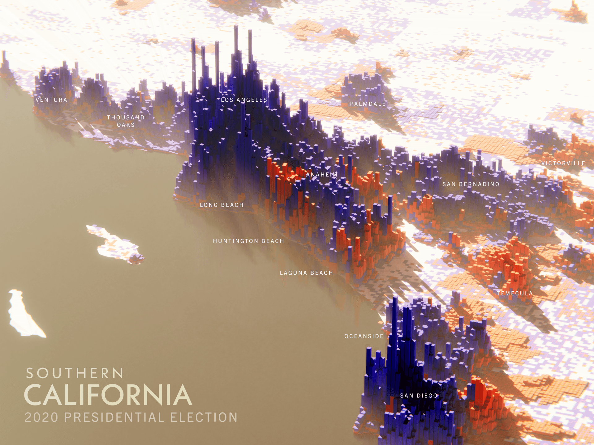
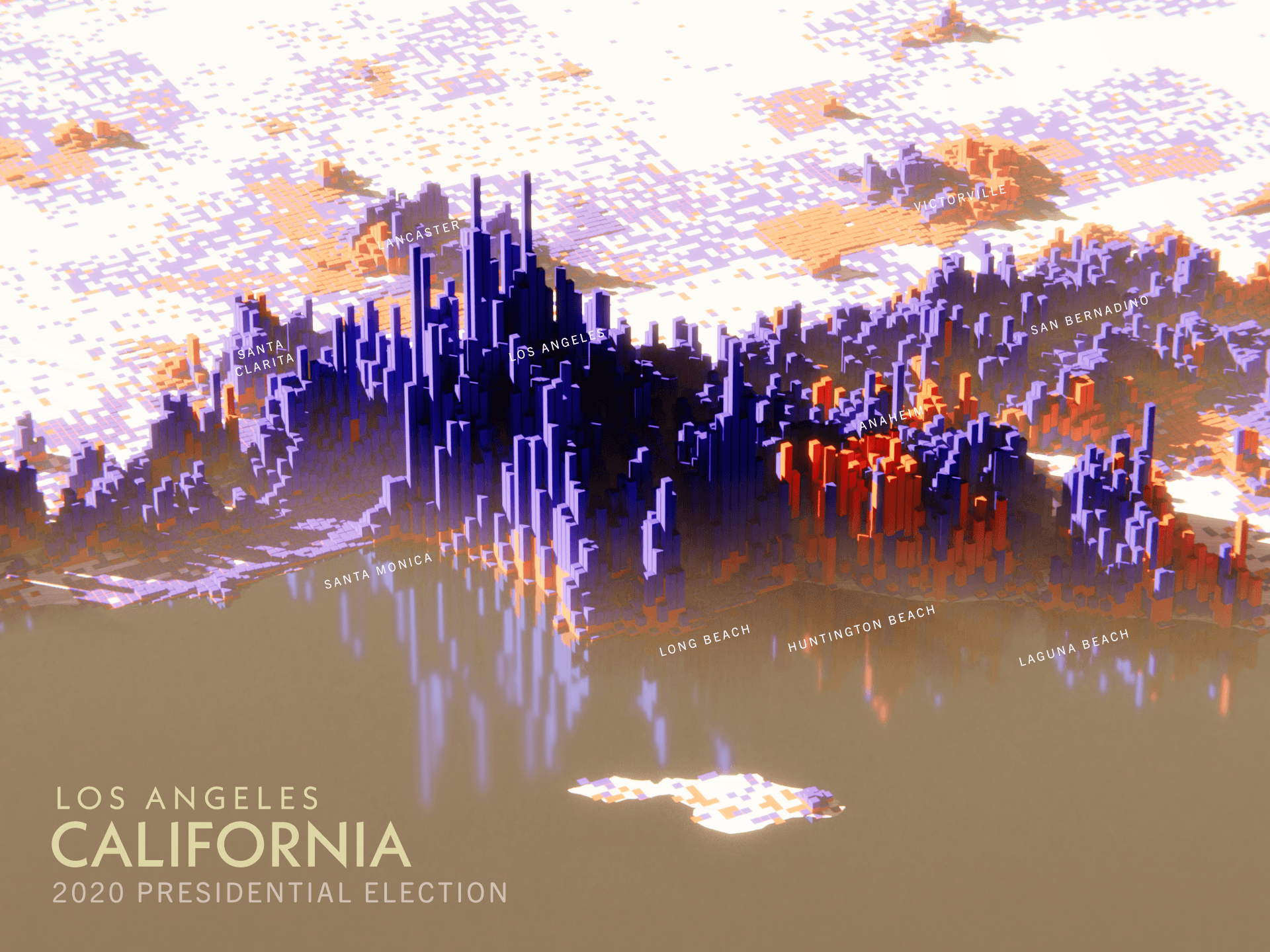
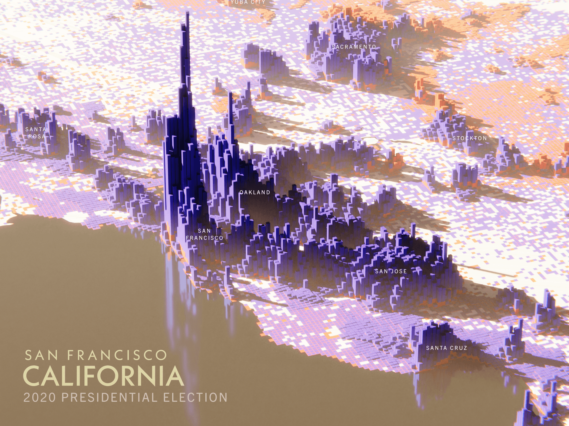
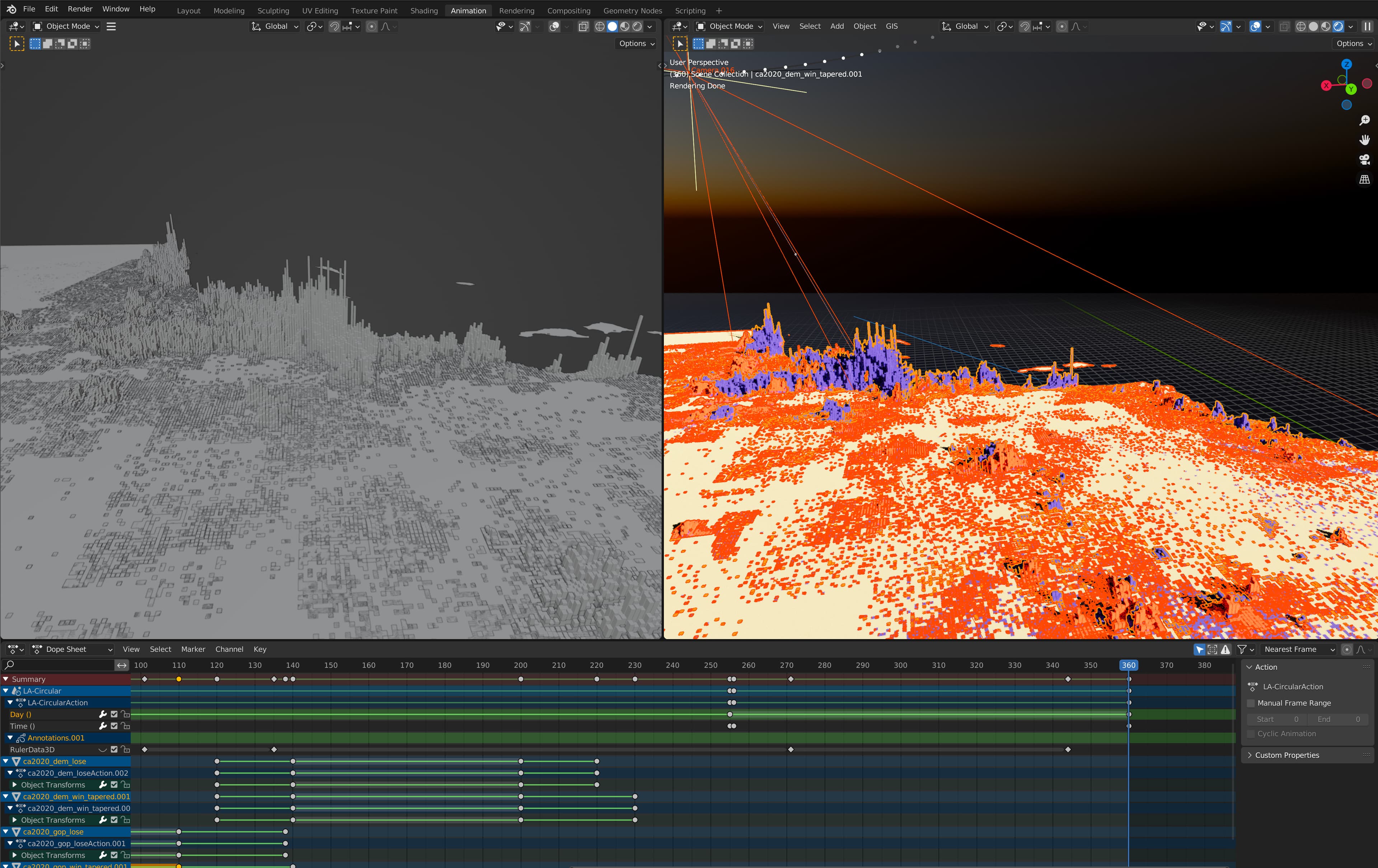
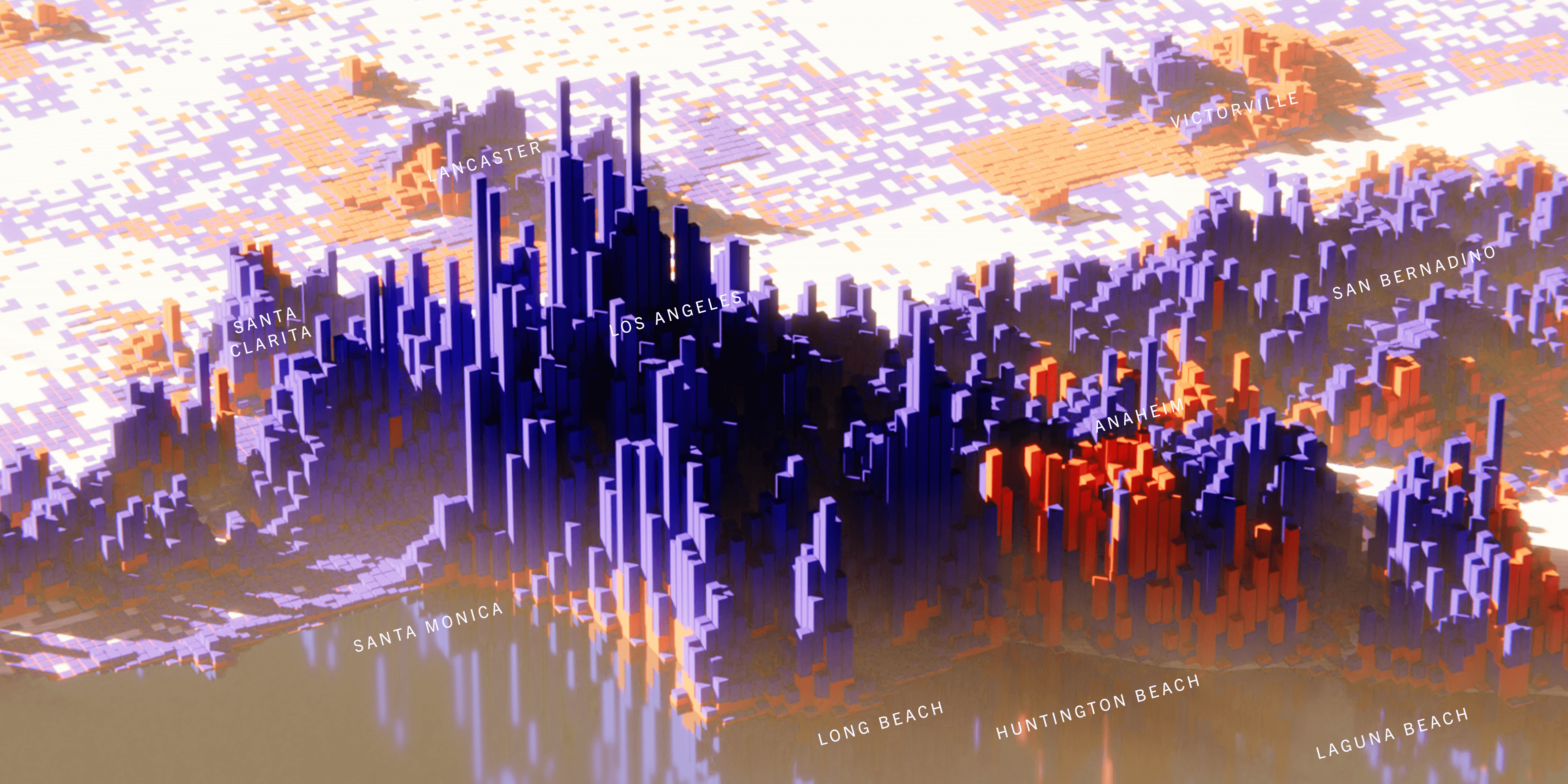
In these oblique views of California, results from the 2020 presidential election are rendered upon the landscape as a 3D bar chart. Data for this model comes from using detailed precinct-level election results and distributing each of California's 17 million votes as points in a GIS program in their appropriate precinct. A rasterized version of this data produces the grid used to generate the bars in 3D in Blender. In addition, simulated sun, water, and land give the illusion of a cityscape of votes. Below, a flyover view of Los Angeles shows each candidate's votes individually.
Services
- Graphic Design
- 3D Modeling
- GIS Mapping
- Motion Design
- Data Collection
Sector
- Elections
- Politics
- Mapping
- Demographics